Discover
This extraordinary place is famous for its amazing wildlife, stunning scenery, and superb walks. From the seasonal abundance of stunning butterflies to the shining sands of Morecambe Bay, the area is simply awe-inspiring - full of natural spectacles and a surprise around every corner.
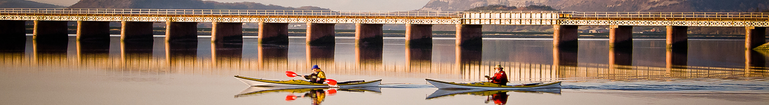
Arnside and its breathtaking views
 Start Place:Arnside Railway Station
- Start Grid Ref:SD462788
- Finish Place:Arnside Railway Station
- Finish Grid Ref:SD462788
- Distance:5 miles / 8 km
- Time:2 – 2.5 hours
- OS Map:Explorer OL7
- Terrain:Some fairly strenuous uphill and downhill walking.
- Grading:Moderate
A circular walk starting from Arnside station, going via Arnside Knott, taking in spectacular panoramic views of the Lakeland Fells and out over the shining sands of Morecambe Bay.
- The walk starts at Arnside Railway Station. Turn right out of the station and follow the footpath for 650m into the village of Arnside. Take in the spectacular views across the Kent Estuary to Grange over Sands and the Lakeland Fells beyond. Passing the shops and the Albion pub on your left, carry straight on along the promenade towards Ashmeadow House. Look out for the statuesque Grey Heron standing stock-still in the water. The estuary provides a vital feeding ground for thousands of wading birds in winter. Follow the concrete path signposted “New Barns Bay” leading towards the Coastguard Station.
- After 500m, at the Beach Walk cafe, just before the Coastguard Station, turn left signposted “Knott Road, Silverdale”. On reaching the road, turn right and continue to the junction with Knott Lane on the left, signposted “The Knott”. Go up this road for approx 350m past High Close on the left and go through the kissing gate on your right, which takes you on a grassy path upwards to rejoin the road through a gate after 350m. A few metres past the cattle grid there is a National Trust toposcope on the left which will help you identify the Lakeland Fells to be seen across the estuary.
- Climb the rough path which goes straight up behind the toposcope for 350m to another panoramic map at the top. Pause here to take in the amazing views, then carry on through a gate in the wall behind the viewpoint, and into the wood. As you come out of the wood, bear left and inland, but keeping an eye open to the right for amazing views across the shining sands of Morecambe Bay. The remains of two knotted trees close to the path on the left are said to have been tied together when saplings by a couple of lovers who “thus plighted their troth”.
- On reaching a bench on the left (dedicated to Cllr HB Lawson), take the path leading off to the right for 150m to take you to the trig point 159m above sea level, the summit of Arnside Knott. The Knott is one of several National Trust properties lying within the AONB and is a great place to see unusual grassland flowers and rare butterflies such as the High Brown fritillary. Retrace your steps to the bench on the main path.
- Follow the path to the right past a gate, keeping the wall on your left. Drystone walls are a distinctive feature of the AONB landscape and whilst their primary function is to enclose land and livestock, they also provide a very valuable habitat for many insects and rare plants. Gradually make your way down the hill and through the woods for 400m. Take care where the path steepens and follow the bend to the right before you reach the wall and road ahead. Ignore the first exit gate and follow the path parallel to the road. The path begins to rise away from the road. After passing the Shilloe beds on your right, the path descends again. Follow the wide path leading down to the left to a gate and out onto the road, looking across to Arnside Tower.
- Cross the road and head for Arnside Tower farm, pausing to take in the views to your left across to the Yorkshire Dales. Pass through the farmyard and go through a gate to the right of the farm cottage. Take the path to the left, signposted “Black Dyke”, keeping the tower on your right. Arnside Tower is one of several tower houses in the area built in the 14th or 15th century.Note: It is dangerous to enter the ruins.
 Cross the field and go through a squeeze stile into Middlebarrow Wood. Follow the footpath to your left – signposted “Middlebarrow & Black Dyke” – for 1km.
- When you reach the railway line, turn left and walk across the field alongside the railway line, passing over 2 footbridges. Note: this footpath can become very boggy after prolonged spells of rain. Keep straight on, passing through 2 gates and a small farmyard, and then bearing right to reach Black Dyke Road.
- Turn left and follow this road for just under 1km back to Arnside Station.
Click here to download a pdf of this walk and map.